Using Drones and Remote Sensing Techniques to make Habitat Management Decisions!
These days it seems everyone and their dog has gone a little bit drone crazy! From wedding photographers and real-estate agents, to land surveyors and engineering firms, just about everyone has a drone and is touting it as evidence of their innovation. Unfortunately, most of the innovation is unrealized because so few have the knowledge and technical ability do anything other than produce pretty pictures.
Make no mistake, in the right hands a professional grade UAV can do a lot more than just take just pretty pictures!
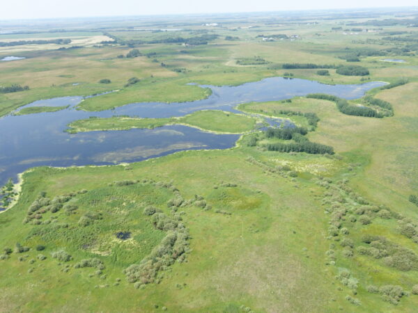
Our geomatics team has advanced remote sensing and data processing skills, and can work wonders with the enormous volumes of data that our UAV field team brings back from drone missions. Using a high resolution RGB camera, our UAV collects thousands of pixel-dense overlapping images. These are processed to create a seamless image of the entire landscape within a few hours of having flown the area.

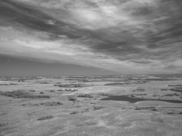
With a little more time, the precise 3-dimensional position of each pixel in the image can be calculated to build a virtual 3-dimensional model of the landscape. Using sophisticated processing and machine learning techniques, the different types and classes of terrain and vegetation can be identified to isolate particular habitat attributes, or create a model of what the area would look like without vegetation, or with components of the vegetive landscape removed or altered.
Using the multi-spectral sensor option with our UAV, images can be processed to identify and quantify unhealthy vegetation, assess moisture levels, and identify a variety of vegetation communities.
We have employed the technology in a range of exciting applications:
- Modelling Sage Thrasher habitat in southern BC
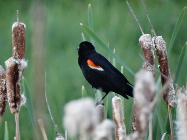
- Assessing wetland condition on Ducks Unlimited wetland restoration sites
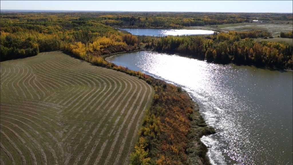
- Evaluating riparian condition of lakeshore in Parkland and Beaver Counties
- Assessing agricultural crop response to soil compaction on University of Alberta precision agriculture research sites
…… and the list is getting longer!
The following short videos go a little further to introduce our UAV program, and explain some of the potential.