Geomatic Applications in Ecology
June 23, 2017
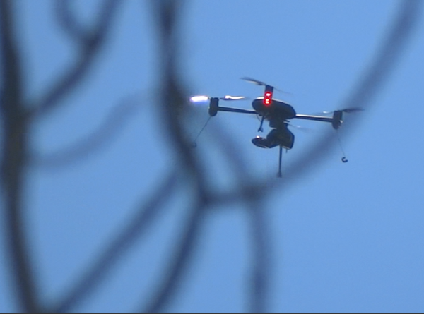
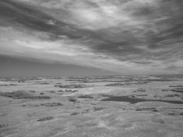
Using Drones and Remote Sensing Techniques to make Habitat Management Decisions! These days it seems everyone and their…
June 23, 2017
Using Drones and Remote Sensing Techniques to make Habitat Management Decisions! These days it seems everyone and their…
December 28, 2016
What a great year 2016 was for Fiera Biological. We landed new clients, formed new working relationships, hired new…
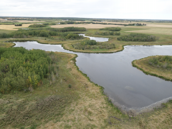
December 12, 2016
Wetlands are important. You don’t have to take our word for it, lots of other folks agree. Environment Canada,…