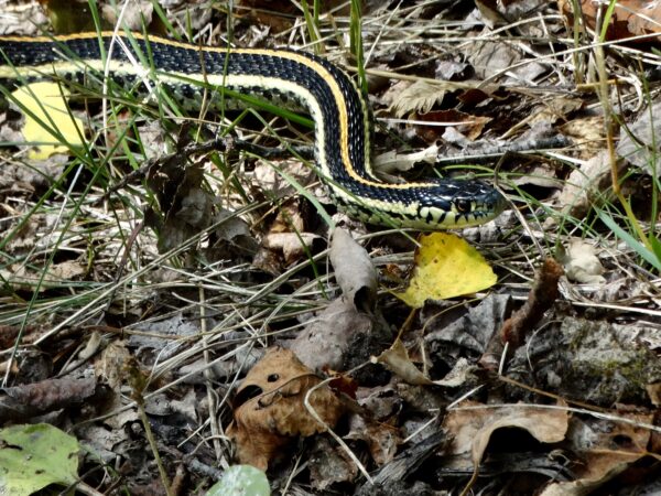
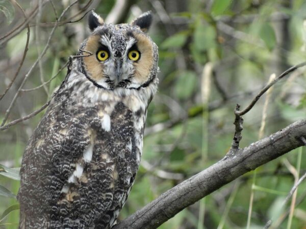
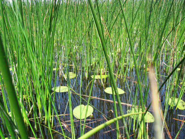
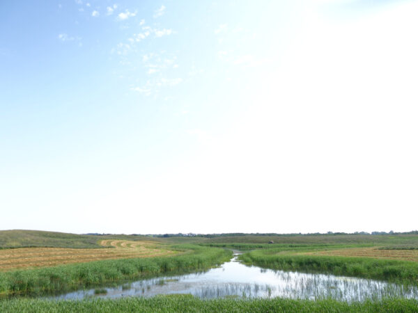
Wildlife and vegetation assessment for an aggregate extraction operation
As part of the regulatory requirements for the operation of a Surface Material Lease (SML), a Conservation and…
Whether you need an ecosystem services assessment, a watershed management plan, an inventory of environmentally significant areas, or a wildlife or habitat survey—we’ve got you covered.
Our highly-skilled staff of natural scientists and geomatics specialists can help you with a wide range of wildlife, habitat, and vegetation assessment and monitoring services. Our policy experts can help you navigate, understand, and comply with environmental regulatory requirements.
Below is a sample of some of the work that our team has completed over the last few years. Please get in touch if you have questions—we would love to help you with your project!
Want to know more about our services? Let’s chat!
As part of the regulatory requirements for the operation of a Surface Material Lease (SML), a Conservation and…
The Alberta Wetland Rapid Evaluation Tool – Actual (ABWRET-A) is a standardized method for assessing wetlands in Alberta….
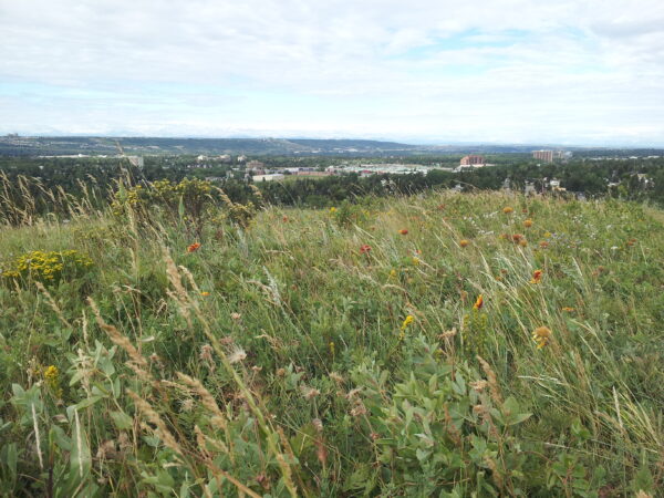
Assessing the degree to which parks and open spaces are spatially connected has become an increasing priority for…
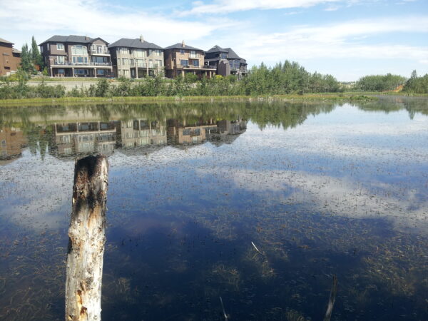
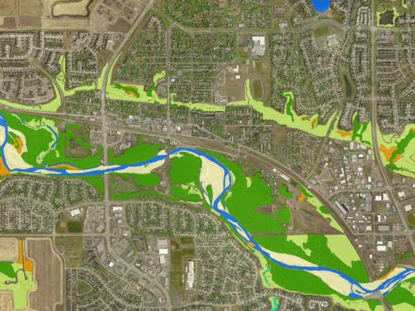
Calgary is a great example of a typical North American urban landscape, with a prominent built environment that…
The City of Leduc is a diverse and dynamic municipality located in central Alberta that has experienced rapid…
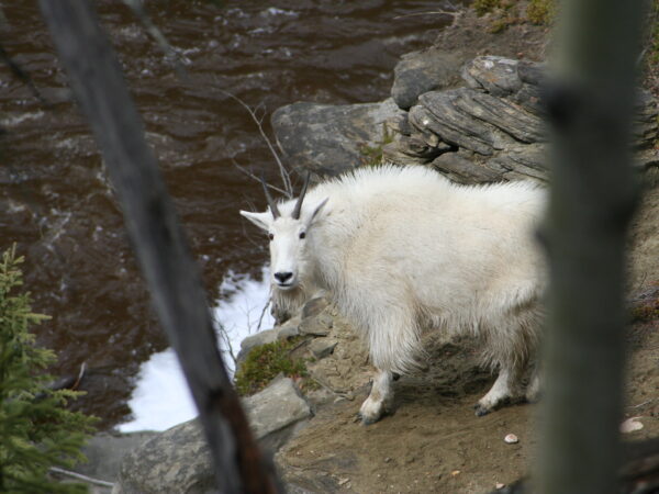
The Pinto Creek Canyon Natural Area is home to Alberta’s only canyon-dwelling population of mountain goats. The natural…

Sage Thrasher is an endangered songbird that nests in large sagebrush vegetation. As part of efforts to conserve…
The North Saskatchewan Watershed Alliance (NSWA) and Battle River Watershed Alliance (BRWA) engage in many watershed assessment and…
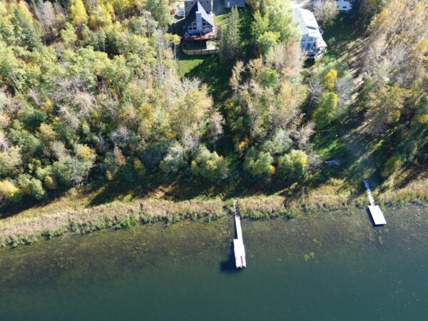
Riparian areas are highly complex and dynamic “transitional habitats” that are found along the edge of waterbodies—including rivers,…
Municipalities rely on engineered assets—such as roads, storm water detention ponds, and water treatment plants—to deliver public services….
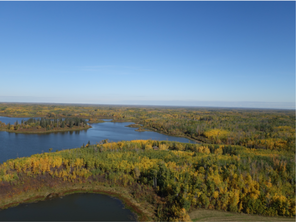
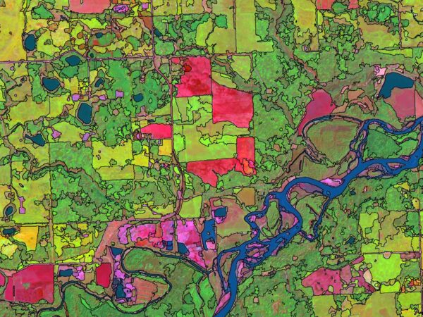
The Beaver Hills moraine is a geologically distinct area in central Alberta that is characterized by its knob…
Birds and bats have been identified as being particularly susceptible to the adverse effects of renewable energy facilities….
Replacing wetland habitat that is lost as a consequence of development is a policy goal in Alberta. Between…
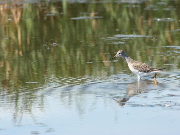
Wetlands are key habitats for a large number of aquatic and terrestrial species, and are significant components of…
Working collaboratively with farmers in the Camrose Creek watershed in central Alberta, the main objective of this study…