Review and evaluation of the Alberta Wetland Rapid Evaluation Tool (ABWRET) metrics
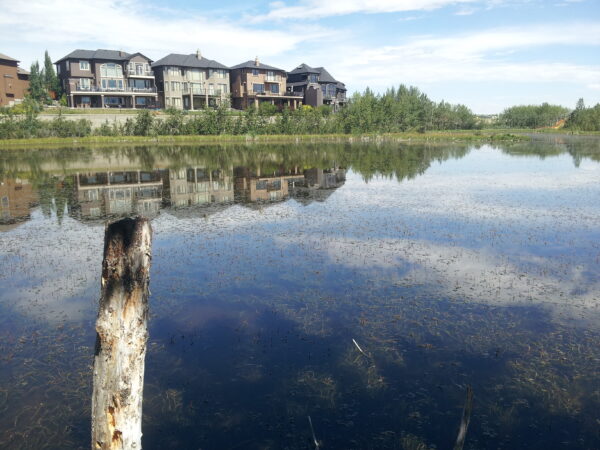
The Alberta Wetland Rapid Evaluation Tool – Actual (ABWRET-A) is a standardized method for assessing wetlands in Alberta….
Environmental planning is hard! It requires negotiating multiple competing interests, and often reliable information about where the natural areas are, what condition they are in, and what value they offer is incomplete or unknown. This lack of information makes evidence-based decision making difficult.
At Fiera, we think knowledge is power, and we strive to put the right information in the right hands—so we can all start making more informed land use decisions.
Sounds good, right? So how do we do that?
We combine our comprehensive ecological knowledge with state-of-the-art GIS and remote sensing technology and analysis. Our capacity to combine geomatics and natural science expertise allows us to create innovative mapping applications and methods. From there, we develop cost-effective methods to assess and monitor habitat condition and land use management practices over time and across large areas.
In particular, we specialize in processing active (e.g., LiDAR, radar) and passive (e.g., high-resolution air photos, Landsat, hyperspectral) imagery to create high-quality and accurate spatial data products. We also develop criteria and indicators that can be applied in a GIS environment to assess the condition of, risk to, and management priority of, natural features.
In short, we have a lot of tools in our toolbox, and we can help you with a wide range of environmental planning and assessment projects, including:

The Alberta Wetland Rapid Evaluation Tool – Actual (ABWRET-A) is a standardized method for assessing wetlands in Alberta….

Assessing the degree to which parks and open spaces are spatially connected has become an increasing priority for…

Calgary is a great example of a typical North American urban landscape, with a prominent built environment that…
Whether you know exactly what you need, or aren't quite sure where to begin—please reach out. We'd be happy to work with you to determine how we can help..