Landcover Classifications – under the covers
February 24, 2022
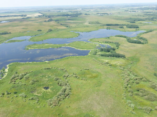
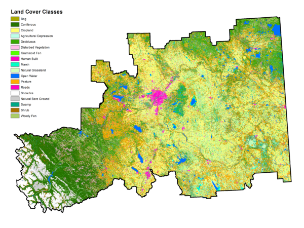
A lot of our daily work at Fiera relies on a single, invaluable type of spatial data, the land cover classification. A land cover classification is essentially a map based on satellite imagery that shows all of the different land cover types across an area.