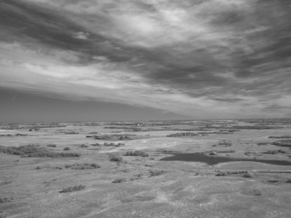
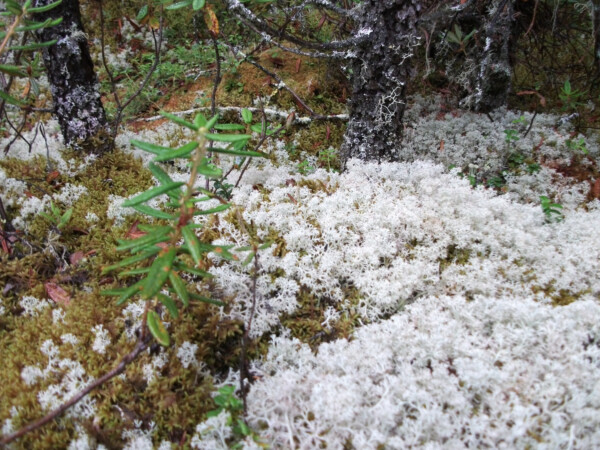
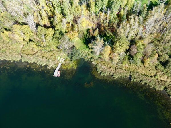
A lot of our daily work at Fiera relies on a single, invaluable type of spatial data, the land cover classification. A land cover classification is essentially a map based on satellite imagery that shows all of the different land cover types (e.g., forest, wetlands, water, buildings, etc.) across an area.
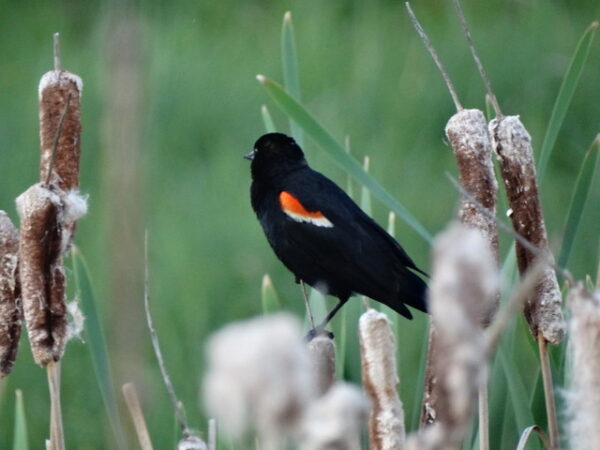
We use this information in a number of ways, from making maps and cover type summaries for biophysical assessments, to measuring and comparing the amounts of different cover types to assess ecological condition of riparian areas, to assessing the difficulty that wildlife might have moving across a landscape. Where can you find this data? There are a number of freely available land cover classifications, such as the Agriculture and Agri-Food Canada (AAFC) land cover; however, here at Fiera we use our remote sensing and GIS moxie to create land cover classifications in house. This allows us to customize the classes and detail of the classification to best suit what it needs to be used for, and also allows us to ensure the quality of the data matches our high standards. Interested in learning a bit about what goes into creating a land cover classification? We’ve put together this ArcGIS StoryMap to take you on a tour from imagery to land cover classification.