
Demystifying LiDAR
November 14, 2022
If you have utilized any type of digital mapping tool, you may have heard the technical term ‘LiDAR’,…
November 14, 2022
If you have utilized any type of digital mapping tool, you may have heard the technical term ‘LiDAR’,…
February 24, 2022
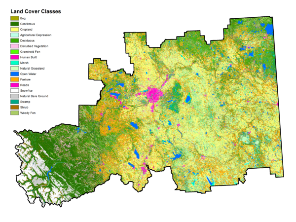
A lot of our daily work at Fiera relies on a single, invaluable type of spatial data, the land cover classification. A land cover classification is essentially a map based on satellite imagery that shows all of the different land cover types across an area.
January 10, 2022
You have already heard us sing the praises of incorporating natural and semi-natural assets (such as wetlands, trees,…
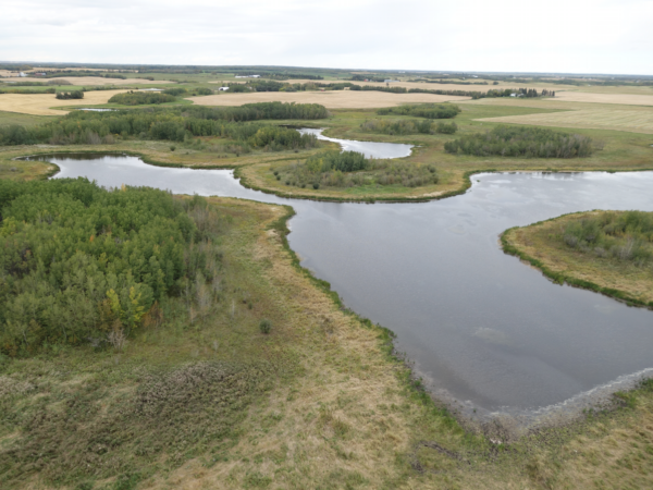
June 23, 2017
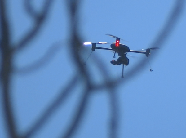
Using Drones and Remote Sensing Techniques to make Habitat Management Decisions! These days it seems everyone and their…
December 28, 2016
What a great year 2016 was for Fiera Biological. We landed new clients, formed new working relationships, hired new…
December 12, 2016
Wetlands are important. You don’t have to take our word for it, lots of other folks agree. Environment Canada,…