
Demystifying LiDAR
November 14, 2022
If you have utilized any type of digital mapping tool, you may have heard the technical term ‘LiDAR’,…
November 14, 2022
If you have utilized any type of digital mapping tool, you may have heard the technical term ‘LiDAR’,…
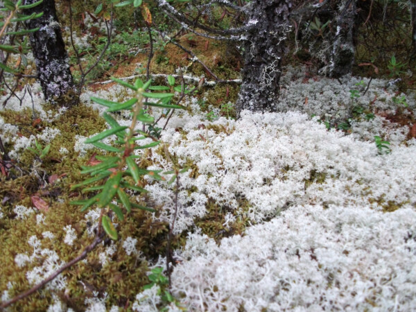
April 26, 2022
Spring has sprung here at Fiera, and so, like everyone, our thoughts turn to bogs. What are they? How do they work?

March 3, 2022
When most people think of wildlife habitat, what often comes to mind are the particular resource requirements that…
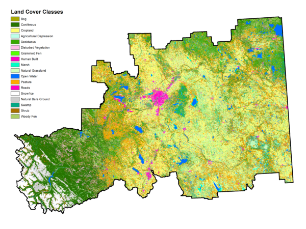
February 24, 2022
A lot of our daily work at Fiera relies on a single, invaluable type of spatial data, the land cover classification. A land cover classification is essentially a map based on satellite imagery that shows all of the different land cover types across an area.